

Welcome to the Map Interactive
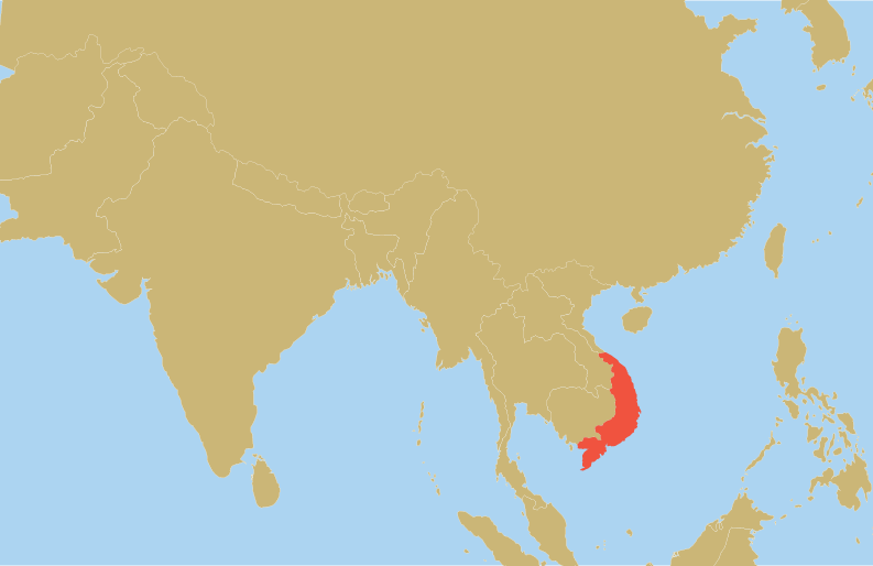
View more than 4000 scanned documents, maps, and images from the MSU Vietnam
Group Archive using an historic map of South Vietnam and filters for year and format.
To explore the interactive map, select a year and then a format from the top navigation. On the map, select a province highlighted in red. Next, click on the item to learn more about the materials in the archive. To zoom out, click on the same province. To see materials about another province, click on that province.
To explore the interactive map, select a year and then a format from the top navigation. On the map, select a province highlighted in red. Next, click on the item to learn more about the materials in the archive. To zoom out, click on the same province. To see materials about another province, click on that province.
Choose a year first...
Then choose a format.
Materials in this archive date from 1955-1965, when Michigan State University
led a range of US-funded technical assistance programs in South Vietnam for the purpose of
producing a stable non-Communist ally in Southeast Asia.